 LANDSCAPE AND ENVIRONMENT
Introduction | Research | People | Tools
 LANDSCAPE AND ENVIRONMENT
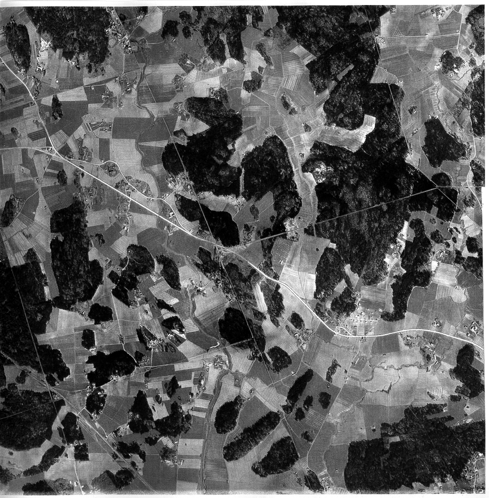
Black and white aerial photograph of the fields of Mulli. The photograph was taken in the 1940's for creating a topographical map.
Raisio City Hall, Survey and Maps Department
Introduction | Research | People | Tools