 ARCHAEOLOGY SITES
Introduction | Research | People | Tools
ARCHAEOLOGY SITES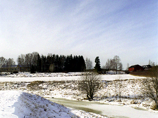
Sami Raninen, Ann-Christin Antell
 |
t the end of Iron Age, water was some 5-6 meters higher than today, and so Raisionjoki River formed a gulf which reached far into the inland areas. The river was navigable up to Linnasmäki Hill of Ihala. The waterway provided a good traffic route, and waterfowl and fish for food.
Introduction | Research | People | Tools