 LANDSCAPE AND ENVIRONMENT
Introduction | Research | People | Tools
LANDSCAPE AND ENVIRONMENT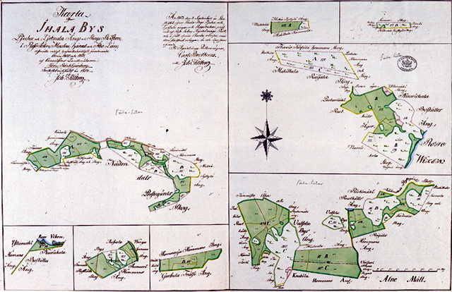
Maanmittaushallituksen arkisto A: 90 Raisio 5/4.
1803 - LIETSALA AND PIUHA MEADOWS DIVISION GROUP MAP
Sami Raninen
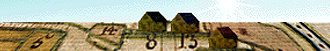
This map represents a great meadows area near Raisionlahti Bay which is mentioned already in some Middle-Age documents. In the 17th and 18th century dozens of Raisio farms and some farms of Naantali, Rusko, Maaria and Kaarina parish owned meadows there. Before the general parcelling, the meadows were, too, in open field system, a situation which caused enormous confusion. General parcelling was realized in Lietsala and Piuha in the 1780s. The forests were divided to individual farms. On the map, A stands for Mulli, B for Siiri, C for Knuuti and D for Konsa farm holdings of meadow and forest.
Introduction | Research | People | Tools